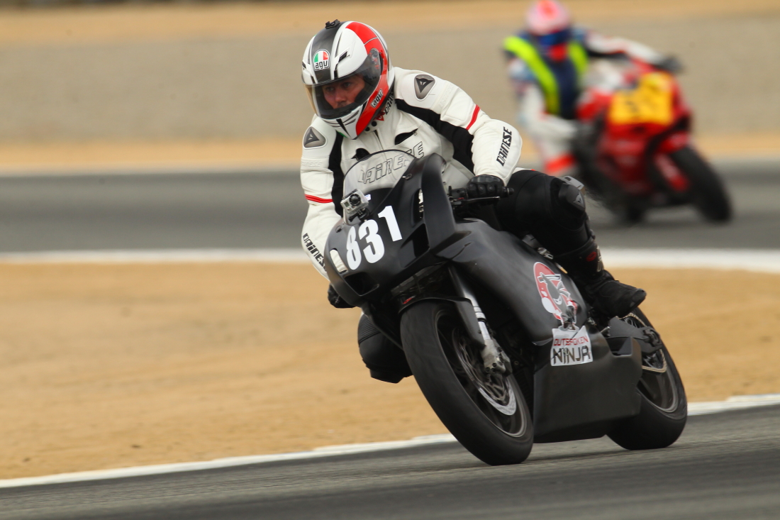
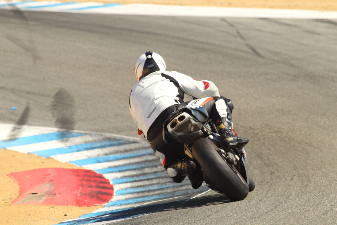
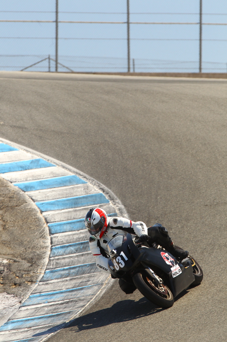
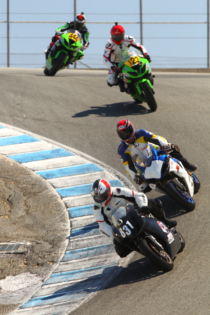
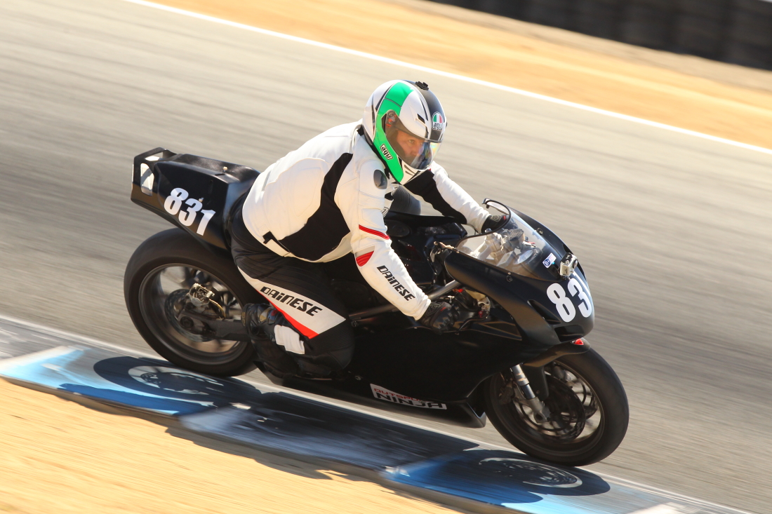
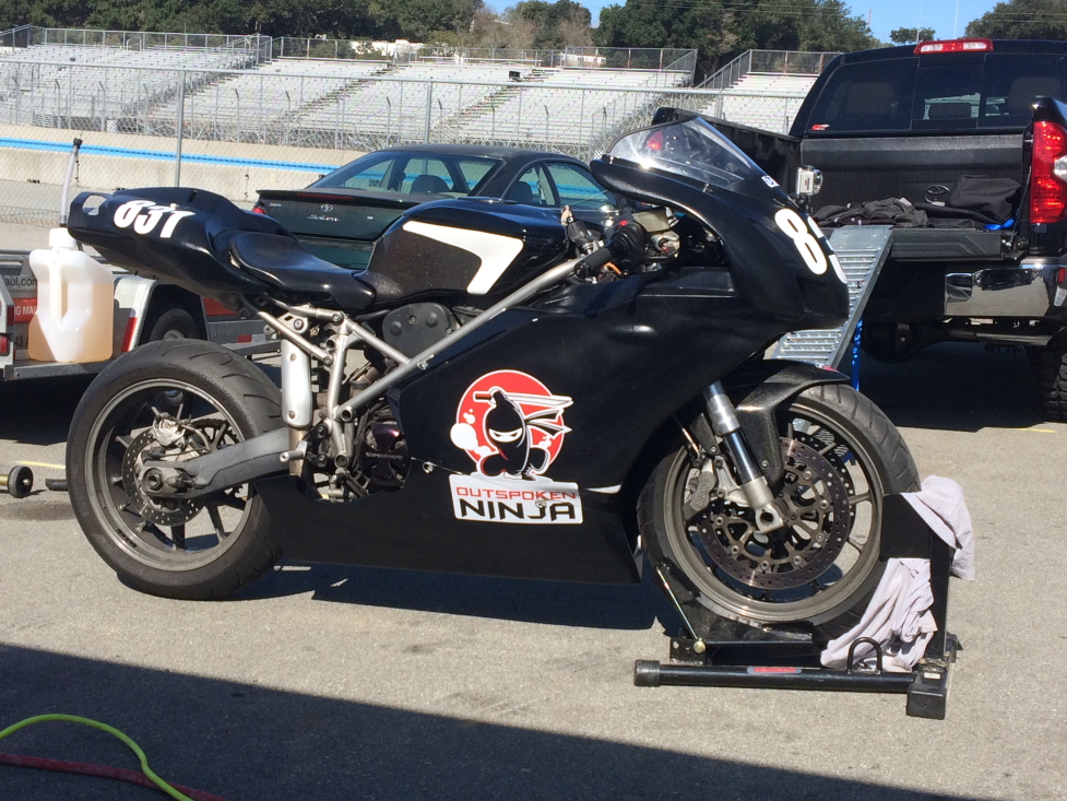
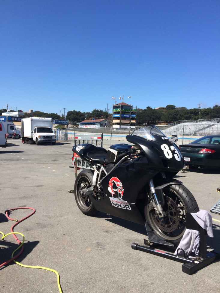
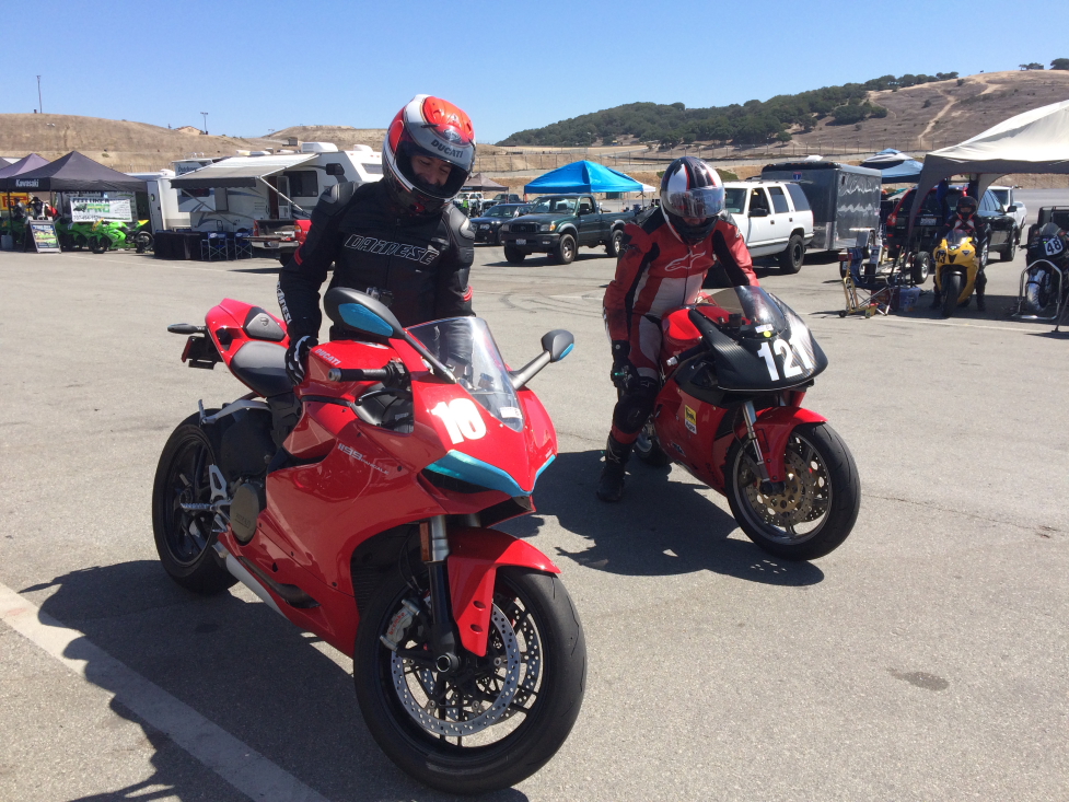
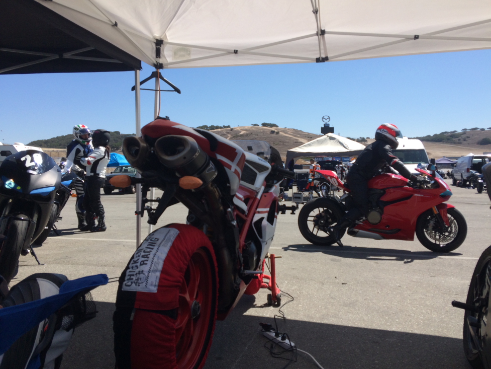
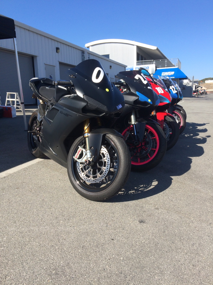
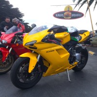
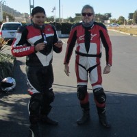
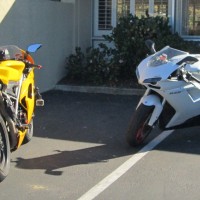
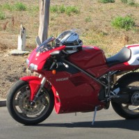
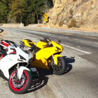
Another GREAT outing at Laguna Seca Raceway in Monterey, CA. Former home of the US GP, and current US stop on the FIM WSBK World Tour.
Thanks a TON to Dito at GotBlueMilk for the photos here!
Quick Ride Reports
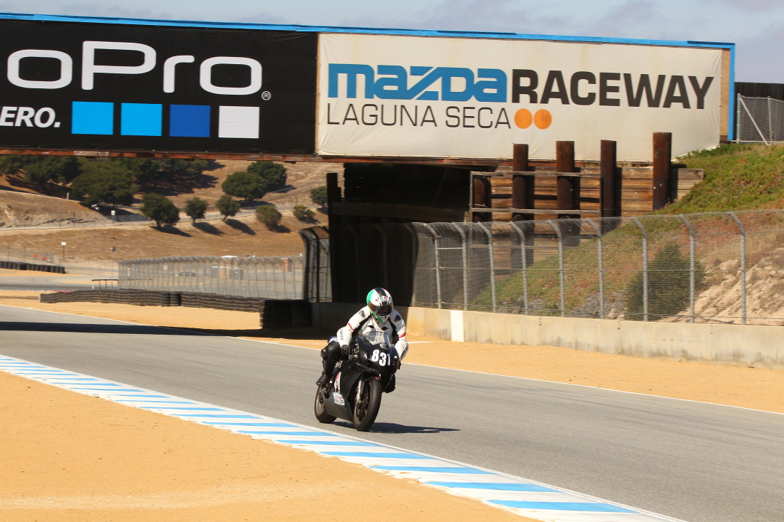
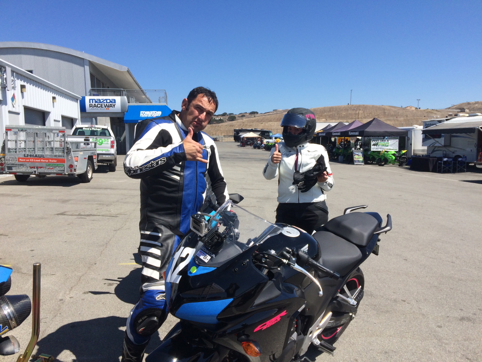
Another GREAT outing at Laguna Seca Raceway in Monterey, CA. Former home of the US GP, and current US stop on the FIM WSBK World Tour.
Thanks a TON to Dito at GotBlueMilk for the photos here!
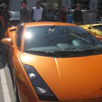
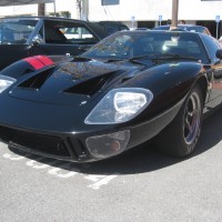
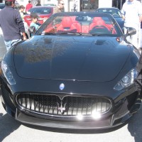
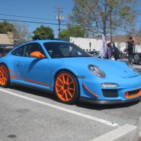
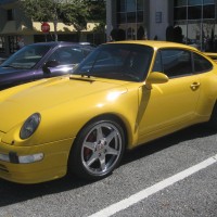
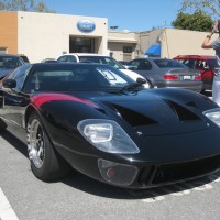
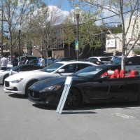
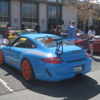
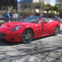
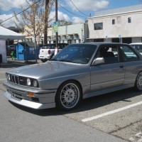
Wow, what a great morning for exotic cars! The variety was fantastic, from 1960’s vintage GT40 to the latest from McLaren, the 650S!! And plenty of heavy metal in between (including an epic MBZ SLS Black, in red).
Here is a gallery of the pics… ENJOY!!
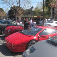
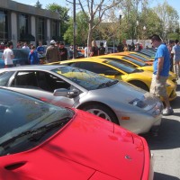
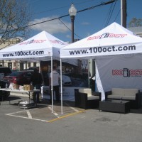
Thanks to the organizers, especially Benoit Boningue, fellow car club member and just plane cool dude.
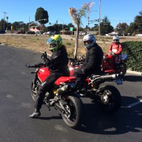
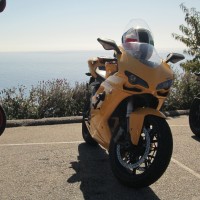
If you ride a motorcycle, and have never been to California, you are truly missing out on one of the best places in the United States to ride a motorcycle. PERIOD.
Here a few photos from various places along a ride I took yesterday from Santa Cruz, CA, to Lucia,CA:
View Larger Map
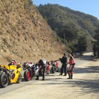
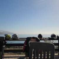
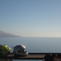
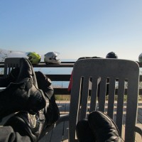
Being an MC ride, there are few opportunities along the way to take photos, but amongst the group we did mange to snap off a few.
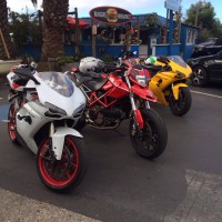
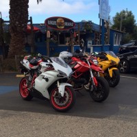
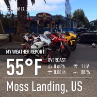
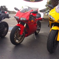
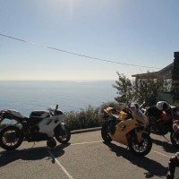
We first gathered here at Lighthouse Harbor Grille in Moss Landing:
We met up with the remainder of the group in Carmel.
View Larger Map
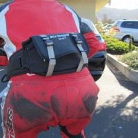
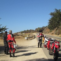
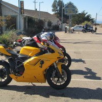
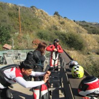
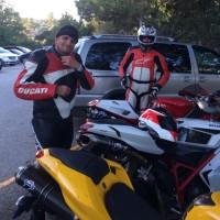
We gassed up the bikes and prepared ourselves (with more caffeine of course) for what was about to transpire. Rich (on the 916) took the time to model his man-sack for us. I hear it’s last word in manly riding apparel for the Central Coast.
From here on our, it was Ride like the Wind all the way to Lucia. We did stop once to regroup, turn on the video cameras and discuss the awesomeness so far:

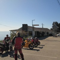
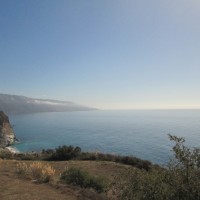
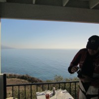
The first of many great surprises on this ride, was our lunch destination in Lucia. Ah.. what a view! What a great place to relax after a spirited ride up Hwy 1.
View Larger Map
Return ride Video:
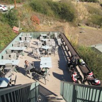
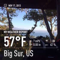
Next stop. Nepenthe in Big Sur. Despite a hair raising incident with an inattentive tourist in a rental car, we made it there without obvious injury. Despite the fact that the highway was the destination and the star of the day, this pulled off a pretty convincing 2nd place.:
What a fantastic ride today. Perfectly organized (or properly disorganized?) group. It’s always a blast to right with these guys and gals. Looking forward to our next epic excursion!!
PS. Video will be added to the blog as soon as I can clear 132 GB of space on a computer, somewhere.
Yes, Sunday was a great day for a ride. Met up with some pals in Gorst (armpit of Puget Sound) and we headed across the Hood Canal Bridge.
Oh.. we tried to cross the bridge, instead we spent a little time waiting for one of the NAVY subs to transit the canal, which requires them to open the bridge.
Ripping the Testing Grounds
Rumbling down Hwy 101
No time like Sunday, for a ride.
The Ducati had not been out yet this year. I’d just made sure the battery was charged, tires filled, chain oiled and my riding gear still fit. All systems GO!
WX data indicated I had until 6:00PM to get the thing done, so I headed West, towards the Hood Canal. Reaching the Ridgetop crest on 303, those plans were unceremoniously, canceled. Many fine (and little traveled) roads exist just a couple of miles from home, so a run through the South County became the plan de jour.

There are some really neat little places that you pass along the way. The first of which is Seabeck. A sleepy little town along the Hood Canal. Decent salmon fishing during the season, but the real score is the Dungenus Crab, and shrip fishing. It’s almost impossible not to limit out. 🙂

From there, the road winds southwest, high and inland from the canal, eventually terminating in the little town of Holly.

This is where things start to get interesting. Just prior to the road’s terminus, starts the an even smaller lane + 1/2 road to the little burg of Dewatto. Winding up the hill and across the ridge, views of the Olympic mountains are impressive and picturesque.

Dropping out of the hills, just before the town of Dewatto, you are treated to great vists such as this:

Riding a little further along the water, and the mountains really begin to loom, despite being miles away, across the Hood Canal.

Not far from the bay, is one of the sweet little treats on this run, a steep up-hill right-hand curve followed by an increasing radius turn to the left, finally topping out on the ridge.

It does not really matter which direction you approach Dewatto, it always delivers.

The road continues to wind it’s way back towards the larger towns, providing both technical corners and broad open-sight-lined sweepers where… “you can really breath.”

75 miles and some time later, it seemed fitting to finish off the day at The Boat Shed for a burger and beer. Ah, life in the Pacific Northwest. It’s full of sweet surprises.
A find way to wrap up a weekend.

Here is what the area looks like. Now that you have seen the sign, here are the mapped routes, with mileage. Should the OR DOT be smacked for putting up such a misleading sign? You be the judge.

Measuring the distance along I-5 came to 27 miles. Longer than I thought! No wonder why it seems to take forever to get through there, it’s about a 30 minute drive without traffic!

Clearly, you can see that it’s a MUCH longer route. And the actual path looks, quite different, than the sign suggests.
So, how much of a sucker bet is it? How about 67% longer than the I-5 route?! It’s just a hair over 40 miles!
Traffic would have to be a crawling 30 MPH all the way through and past the city to break even! Now, here is the kicker. When traffic is bad in Portland, it’s just as bad, if not worse on I-205 (been there, parked in that).
So, no matter how you cut it. Unless you are going to the airport, East on OR-84 or WA-4 it’s a sucker’s bet and one you should NOT TAKE!
Traveler beware. The Oregon DOT and that sign LIE!!
Having worked 1/2 the previous night, until 1:00AM, then gettng up again at 7:00 to continue forward with a large development project, I decided to reward my hard work with a little R&R at the top of the Olympic National Park. My friend Bill had the day off so we decided to meet up north of Poulsbo and ride the 80 miles to Port Angelas. The final destination, Hurricane Ridge 93 miles from our starting point.
It’s about time. Sunny skies all weekend, temps broke into the 70’s (pretty good for us on most any day!). For me, it was a weekend of busy work around the house, husting kids around too and fro…. but.. I did mange to squeeze in a nice ride before the weekend was out. An BOY was it worth it!
Bremerton 7:00PM
Rolled out of the garage, topped off the tank (1.9 gallons of high-test) and pointed west. At this time of year, the sun is starting to say up well into the evening, leaving decent enough light for riding, even with a motorcycle headlamp, until at least 9:00PM. This left me 2 hours of fun.
About 1/3 of the way into my ride, I was pleased to discover that Bear Creak – Dewatto Road was once again open. The storms of 2007/2008 knocked it out (along with a number of other roads), and it had been closed all summer. It’s a fine little ribbon with little to no traffic. It’s also provides some very nice views of the Olympic Mountains as you meander along the ridge, once you get there.

There are not many places along the road to stop, and some of the best vistas are simply too dangerous to stop and photograph (unless you like being run down by a random pickup truck). I was able to stop and snap this photo at the intersection of Bear Creek and Tahuya-Blacksmith.

One last photo, from the same location. That neat little ribbon of road, and at least to me, a bit of the isolating sense of being out in this part of the county.

It’s days like these that I’m happy to live out here, on the edge of the ‘civilization’ as some would call it. Great pieces of road, hardly offended by slow movers or Sherriff’s sniping with RADAR for tickets. Just a man, a machine and some free time. This is one of those incredible joys that makes my life so special to me.
I can feel the darkness of winter finally melting away.
It seems like forever since I had the Ducati out for a real ride. Sure, a few bike nights here an there since the last big ride to SportBike Northwest, but nothing that any truthful person could call a ‘ride’. Despite the forecast of rain, I just had to go out and ride today.
At 6:00PM, under moody skies and hardly anything resembling Spring weather, the Ducati fired up and was pointed West. It was not long until I had clear roads before me and I could ride at exactly the pace I desired. Only one pass was required all day long. After that quick dispatch I saw hardly a soul the entire evening.
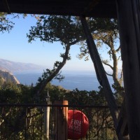
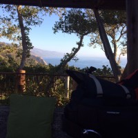
Over the years riding in Kitsap, I’ve passed a wrecked building out by the little hamlet of Dewatto. Until today I’d only briefly passed it by, thinking some day I’ll scope it out as a possible spot for some on-location photography. Today seemed like a great day to do this.
The building is located on a salt water inlet named ‘The Hood Canal‘. Technically the body of water is a fjord. In fact it was originally named “Hood’s Channel” but Vancouver (whom named it) marked it as “Hood’s Canal” on his charts in the late 1700’s. In 1932 the US Geological Board offically name it “Hood Canal“. 
The area itself is approximately 2/3 of the way south along the Eastern short of the canal, located near the headwater of the Dewatto River.

Years ago the building itself was in far better condition. Looking around it was clear that it’s used as a party spot for people. There is evidence of make-shift fire pits, beer bottles and other trash litter the interior of the building.

The view from inside building is quite striking on a clear day. Sadly today was not clear. Behind the coulds seen in this photo, is the snow covered mountain range of the Olympic National Park. With this year’s long winter the snow pack is quite deep and low along the sides of these rugged mountains.

It was good to get out on the road, blow the cobwebs out of my riding skills and enjoy some of the best local riding I’ve ever lived near.
2 hours and 70 miles later I rolled into home with a smile on my face and the feeling of a little rejuvination after what seems like the longest winter I’ve every experience in the short 44 years I’d inhabited this world.